About Eagle Mapping
Mapping the path to your future profits!
Canadian and Global Services
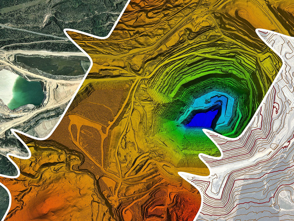
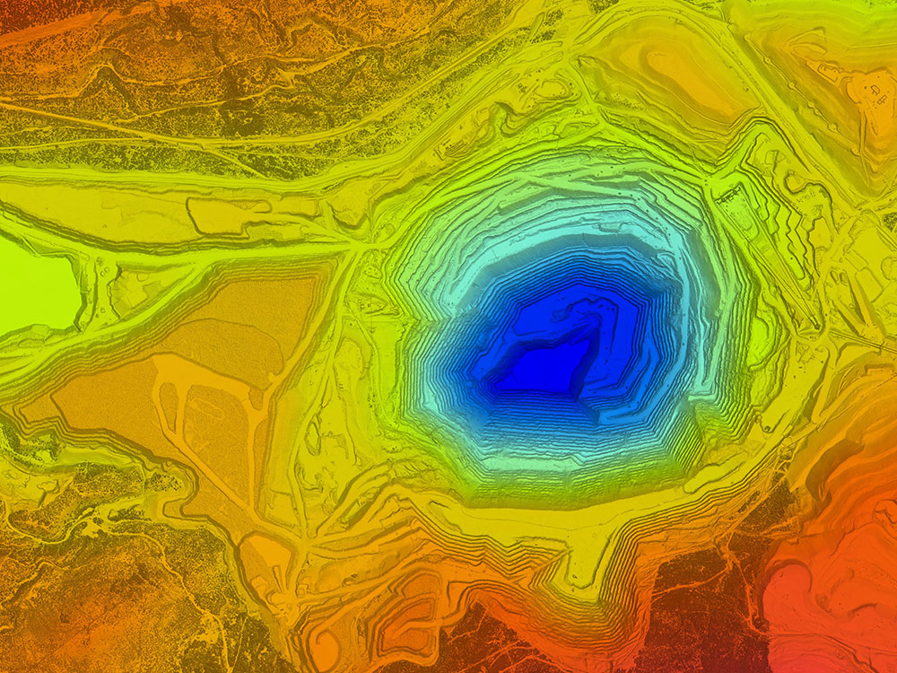
Eagle Mapping has more than 30 years of Aerial Mapping experience. We operate our own sensors, aircraft, and all data is processed in-house. This gives us an unparalleled level of control throughout all stages of a project whether for LiDAR, Aerial Photography, or a combination of both. A wide variety of deliverables are available using specialized processing and mapping software.
With company headquarters near Vancouver, Canada and offices in Calgary, Canada; Bellingham, USA; Lima, Peru, we provide international data acquisition throughout North, Central and South America.
Expertise
We specialize in Aerial LiDAR and Air photo collection and processing. We have highly knowledgeable and professional English and Spanish speaking staff.
Central and South American Service
We have flown LiDAR from Argentina to Mexico (including Nicaragua, Colombia, Peru and Chile). We have clients in these areas that are associated with Mining, Oil & Gas, Archeology, Forestry and Municipalities.
Technology
We own state of the art LiDAR collection equipment including the RIEGL VQ-780i, LMS-Q1560 and LMS-Q780. We use the most sophisticated software to process LiDAR data.
Equipment
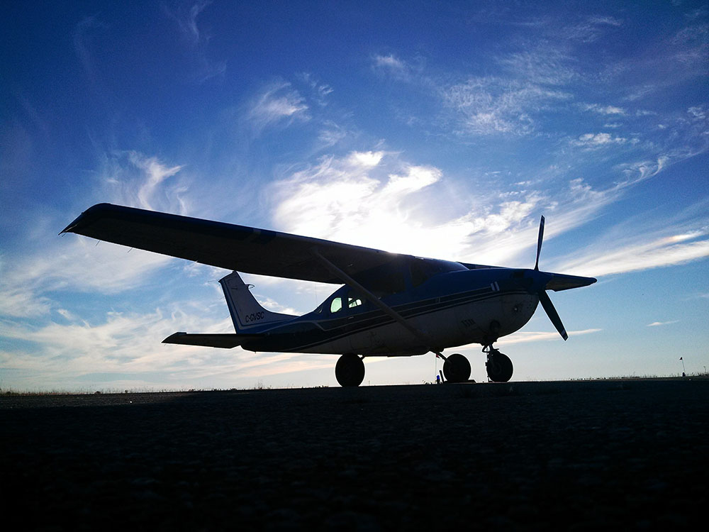
LiDAR and digital photography are acquired with our own Cessna 206 and other leased aircraft when necessary.
Service
Eagle Mapping employs professional staff that understand the importance of delivering a quality product in a timely manner.
To learn more about Eagle Mapping or to request a no cost quote, please contact:
Hector de los Santos
Geomatics Sales Manager
Email: hsantos@eaglemapping.com
Direct Phone: 1.604.764.5623


