Geotech is a global leader in technological innovation for airborne geophysical survey mapping, interpretation and analysis. The clarity of our data lets you see with accuracy and detail what’s beneath the earth, from near the surface to great depths. We work closely with clients in many industries to identify and implement solutions that meet specific project goals.
Our experienced team is composed of professional geophysicists, engineers, field technicians, instrument operators and pilots who are dedicated to delivering high-quality results clients can trust in a safety-conscious manner.
Geotech is recognized worldwide for high-end airborne geophysical surveys for more than 35 years and is a leading innovator in the industry through the development of new and progressive airborne geophysical technologies for both helicopter and fixed-wing survey applications. Geotech is the operator of the largest fleet of helicopter time-domain and natural field systems (30 VTEM and 14 ZTEM systems), which has collected in excess of 3 million line km of EM data to date.
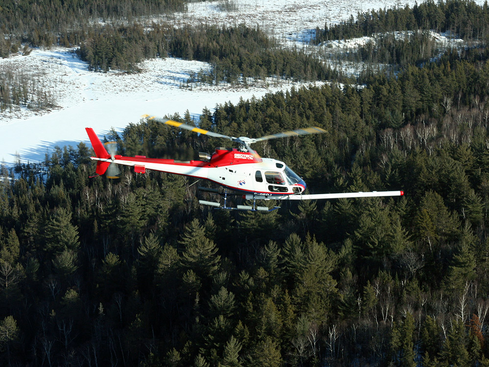
Geotech operates on a global scale, with offices in Canada, South Africa, Australia and the United States and has strategic alliances in China and Kazakhstan. Geotech maintains its own fleet of 19 aircraft.
VTEM™
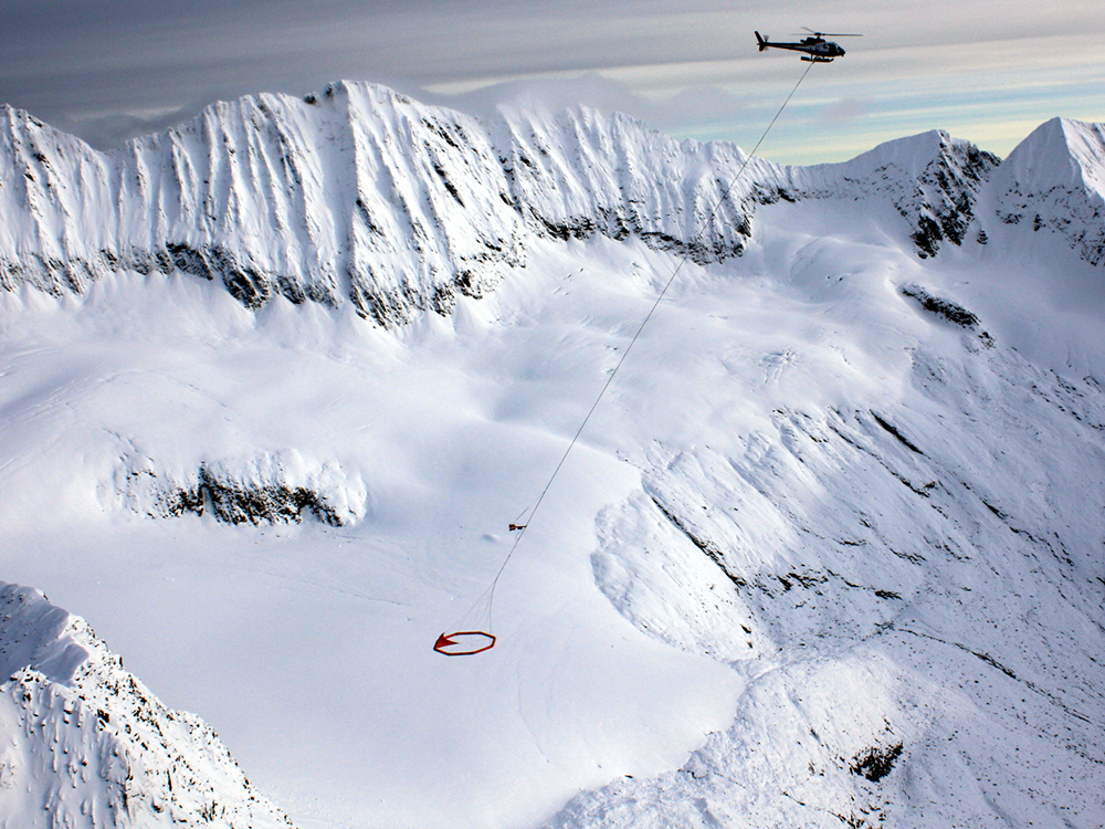
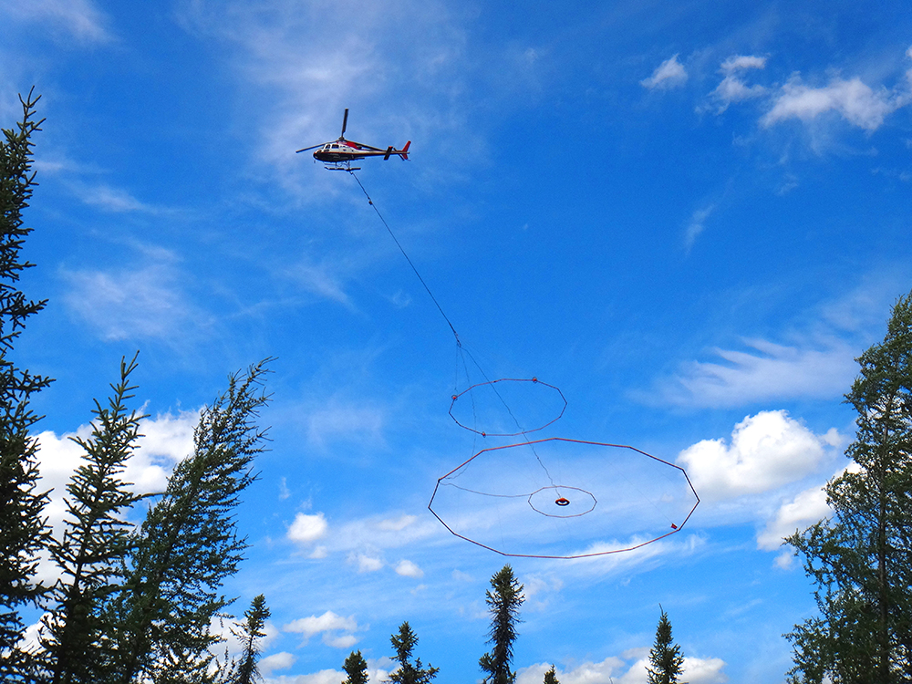
Geotech’s proprietary Versatile Time Domain Electromagnetic (VTEM™) design is the leading time domain electromagnetic system in the industry. VTEM™ is the system of choice for airborne geophysical surveys with over 2,000,000 line-kilometers flown over a variety of different host geologies. Features include the best signal-to-noise levels, three diameter options for depth and terrain, adjustable dipole moments, single mag or horizontal mag options and adjustable pulse width.
ZTEM™
Geotech’s proprietary ZTEM™ design is an innovative time domain electromagnetic system z-tipper axis electromagnetic system. The unique ZTEM™ system leverages the earth’s natural or passive fields from thunderstorm activity as a source of transmitted energy. The receiver design, advanced digital electronics and signal processing allow for lower noise levels, exceptional resolution and unparalleled depth penetration up to 2 kilometers. ZTEM™ is well suited for mapping deeply buried, porphyry hosted and structurally controlled target types.
HELICOPTER MAGNETICS AND RADIOMETRICS
Geotech offers single sensor towed magnetics, towed gradiometers and stinger magnetometers.
Our three-axis airborne magnetic gradiometer features high-resolution optically pumped magnetic sensors – especially important in areas of low magnetic gradients. This system is a valuable tool in the exploration for gold, silver, platinum-group elements (PGEs) and diamonds, and assists in mapping geologic and man-made structures for engineering applications.
Our stinger-mounted magnetometer system mounts the same high-resolution magnetic sensor on a boom. It is best suited for ultra-high-resolution surveys in moderate to challenging terrain because it allows line spacing as tight as 20 meters and a sensor height of less than 30 meters.
Radiometrics – also known as spectrometer and Airborne Gamma Ray Spectrometry (AGRS) – measures changes in rocks that are a key indicator of rock alteration, which is commonly associated with mineralization. Geotech owns and operates the industry-leading Radiation Solutions RSX-5 radiometric packs which can be flown together stand-alone or with any of the above mentioned magnetometer systems or EM systems.
AIRBORNE GRAVITY
Earth’s gravitational field is not uniform; the denser the rock, the greater the gravitational field. As a result, very precise measurements can detect critical variations in rock density. Geotech owns and operates GT-2A meters, which offer excellent sensitivity and a wide dynamic range. These systems are ideal for mapping density variations at a regional scale.


