For more information, contact:
Glen Jones
403.651.3086 or glenj@didigeodata.com
Dan Subtelny
647.285.5636 or dans@digigeodata.com
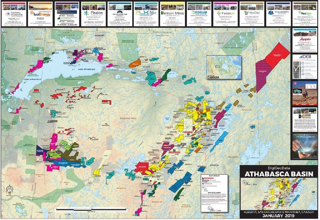
These mining and metals resource exploration activity maps have been an industry standard for over 20 years. Hundreds of thousands of copies have been published. They provide an overview either on a global/country scale or a more focussed regional basis that has significant exploration and/or mining activity. The maps have been used by investors and companies.
The usual data of topography, mines, deposits, and claims are shown but the core value is the colour coding showing properties that companies have an economic interest in.
These interests are quite often different from what a government database would show due to option and joint venture agreements with the registered owners.
These maps have traditionally been produced in hard copy which provides the user with hands-on and tactile experience. Once published, they become an excellent reference.
However, DigiGeoMaps takes this trusted concept to a digital interface.
In addition to the valuable data on the hard copy maps, additional benefits include
- Individual company profile pages with links to their websites
- Updated properties
- Mineral Endowment
- Area History
- Area Geology
- Link to free access part of DigiGeoAtlas
A New Face to an Old Concept
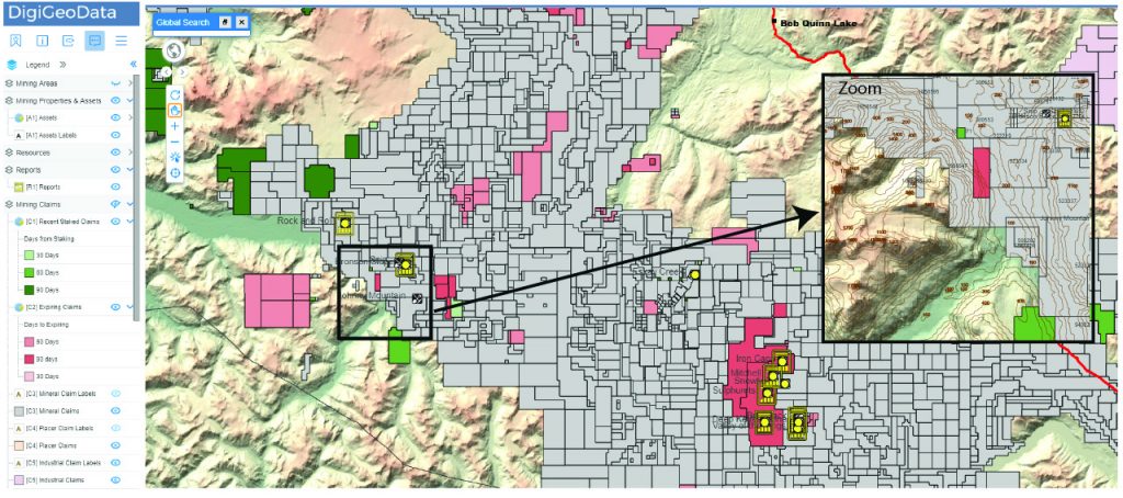
This new application brings the paper map online.
Sponsor company projects are highlighted in colour and shown in relation to new discoveries, deposits, and mines.
It provides up to date information on resources, production, endowment, technical reports, geology, and base claim data for each exploration area.
The information is refreshed on a regular basis so that each area is always up to date.
We understand the importance of paper maps, so that is still an available option.
The combination of hard copy and digital provides economical and long-term value.
To reserve your space on an upcoming map, use the form below.

