About Abasca Resources Inc.
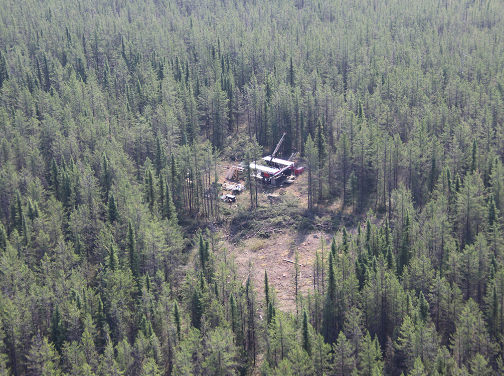
Abasca Resources Inc. (TSX-V: ABA) is a Canadian mineral exploration company focused on its Key Lake South Uranium Project (KLS), located approximately 15 kilometres south of the Key Lake mill which processes ore from Cameco Corp.’s (TSX: CCO; NYSE: CCJ) McArthur River uranium mine. Provincial Highway 914, a north-south all-weather highway in Saskatchewan, crosses the project, providing ideal access. The project consists of 12 contiguous claims (23,977 hectares or approximately 240 sq. km) which were staked during 2011 to 2012 and have been held and explored by a private company (“SaskCo”) until the end of 2022. The project was then transferred to Abasca Resources Inc. by reverse takeover of a TSX Venture listed corporation and is 100%-owned.
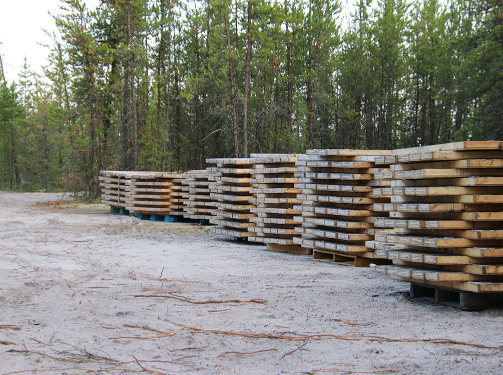
In addition to the uranium prospectivity, KLS also hosts the Loki Flake Graphite Deposit (“Loki Deposit”) in the northern part of the project area. The Loki Deposit was discovered by SaskCo in 2016 while exploring for uranium at KLS and representative drill core samples were taken from the zone for the purpose of uranium exploration. The 2016 drilling intersected the zone over a 2 km trend with intersections up to 40 m in length. In the fall of 2023, the samples were re-analysed for graphite and assays returned values up to 22.2 % Cg. A subset of the samples was also selected to determine the graphite flake size distribution by QEMSCAN, which yielded a median passing percent up to 214 μm. Subsequent drilling in 2024 has culminated in the initial inferred resource estimate of 11.31 million tonnes grading 7.65% Cg (For further details, please refer to the technical report titled “Technical Report on the Key Lake South Project with Initial Mineral Resource Estimate for the Loki Flake Graphite Deposit, Saskatchewan, Canada” dated May 29, 2025, filed on SEDAR+ and the Company’s website). Additional delineation continued in 2025 to expand and upgrade the resource.
Key Lake South Uranium Project
Highlights
- Loki Flake Graphite Deposit
- Size: 23,977 Ha
- Target Areas: 13
- 100%-Owned
- 15 km south of Key Lake Uranium Mill
- Geological similarities and along strike of past Key Lake Mine
- Prospective Conductors: > 50 km
To learn more about Abasca Resources, please visit www.abasca.ca.
To learn more about the activity in the Athabasca Basin area and to view the digital map, go to https://digigeodata.com/area/athabasca-basin/-basin/


