

About CanAlaska Uranium
CanAlaska is a leading explorer of uranium in the Athabasca Basin of Saskatchewan, Canada. With a project generator model, the Company has built a large portfolio of uranium projects in the Athabasca Basin. CanAlaska owns numerous uranium properties, totaling approximately 500,000 hectares, with clearly defined targets in the Athabasca Basin covering both basement and unconformity uranium deposit potential. The Company has recently concentrated on the West McArthur high-grade uranium expansion with targets in 2024 leading to significant success at Pike Zone. Fully financed for the upcoming 2026 drill season, CanAlaska is focused on uranium deposit discovery and delineation in a safe and secure jurisdiction. The Company has the right team in place with a track record of discovery and projects that are located next to critical mine and mill infrastructure.
KEY URANIUM PROPERTIES
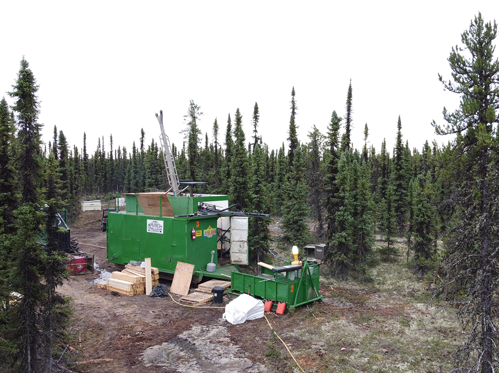
WEST McARTHUR PROJECT
- “Pike Zone” – Unconformity-hosted high-grade uranium discovery made in the summer of 2022 is the main focus of the Company’s recent efforts
- CanAlaska is 86% owner and operator of the Joint Venture with Cameco
- Close to the world’s richest Uranium Mine, Cameco’s McArthur River
- Adjacent to the Fox Lake Deposit, discovered by Cameco in 2013.
- Multiple exploration targets remain on the property supported by modern geophysical results
MOON LAKE SOUTH
- Close to Denison Mines Phoenix and Gryphon deposits
- Unconformity-associated high-grade uranium discovery in winter of 2023 currently being evaluated
- Multiple exploration targets remain along 4 kilometre long under explored CR-3 corridor
- CanAlaska is 25% owner in the project with Denison Mines
CREE EAST PROJECT
- Located 35 kilometres from the Key Lake Mine
- 56,000 hectare land package with historical uranium discovery
- Work completed in 2025 identifies key alteration types, structures, and uranium mineralization
- Objective: a large unconformity uranium deposit
- 100% CanAlaska owned and operated

To learn more about CanAlaska, please contact:
Cory Belyk, CEO
T: 306.668.6900
For more on the activity in the Athabasca Basin area and to see the digital map, go to https://digigeodata.com/area/athabasca-basin/