About Geoscience BC
Geoscience BC’s independent, public geoscience is a first link in the supply chain for Canada’s net-zero emissions economy.
Our critical minerals and metals, cleaner energy, water and geological carbon capture and storage research is funded by industry, government, trusts and other partners. It informs evidence-based decisions by industry, governments, Indigenous groups and communities.
Geoscience BC is guided by a volunteer Board of Directors, technical and Indigenous volunteers and by Geoscience BC members. We are a not-for-profit society incorporated under the BC Societies Act.
We gratefully acknowledge the financial support of our partners, including the Province of British Columbia through the Ministry of Energy, Mines and Low Carbon Innovation.
Visit us: www.geosciencebc.com
Geoscience BC Critical Minerals and Metals Project Updates
Critical metals and minerals are essential resources used in the manufacture of products needed for the transition to a lower carbon. BC is well positioned to become a global leader in the development and production of critical metals and minerals. A study of our minerals research projects shows that for every $1 invested by Geoscience BC, there is a corresponding $6.60 of investment in mineral exploration.
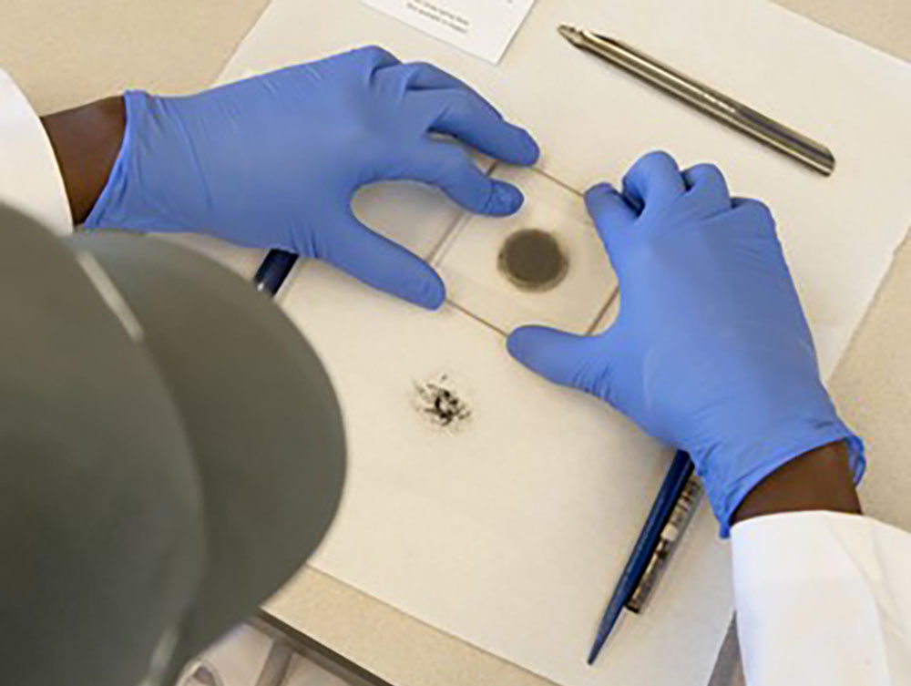
Phase 1 of the Critical Minerals & Metals in Select British Columbia Mine Tailings & Waste Rock program will collate and analyze existing data about opportunities for critical mineral extraction at current or historic mine sites. It will identify sites for further technical evaluation.
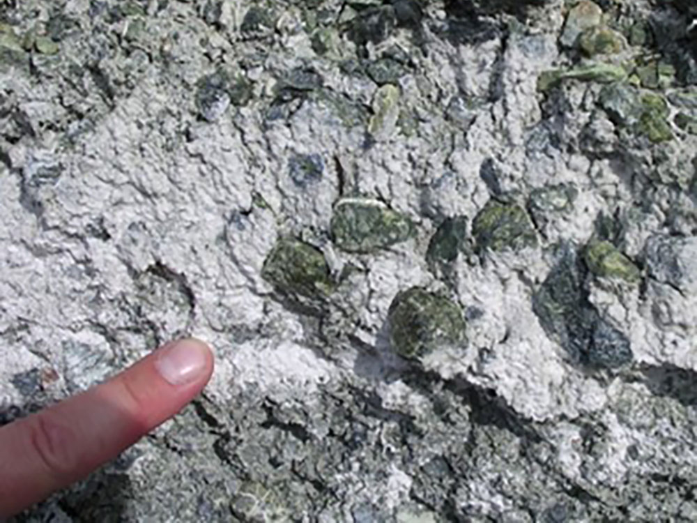
Ultramafic rocks’ ability to sequester CO2 through the precipitation of carbonate minerals is already understood. This project will capitalize on ongoing and previous work, including Geoscience BC’s Carbon Mineralization Potential Assessment for BC project, to develop a pilot-scale demonstration. It would bring together leading industry technical expertise in sequestering carbon and Geoscience BC’s project management and engagement experience to attract investment and de-risk emerging opportunities as BC moves toward a low-carbon future.
Geoscience BC Membership
The transition to a lower carbon economy increases demand for British Columbia’s natural resources, and with it the need for quality public geoscience to inform evidence-based decisions, including those relating to critical minerals and metals supply, emissions reduction and cleaner energy generation. Geoscience BC membership opportunities make it easy for a wide range of partners to support, provide input, network and stay up to date on Geoscience BC minerals, energy and water research.
Corporate, Individual, Student and Associate memberships provide a variety of opportunities to suit industry, academia, communities, Indigenous groups and governments as we work towards shared goals.
New members joining Geoscience BC between January 22, 2024 and March 31, 2024 will receive the remainder of the 2023-24 year to March 31 for free – as well as a 2024-25 membership! Geoscience BC membership was launched at AME Roundup 2022.
Join today and become a member: www.geosciencebc.com/membership/