Skip to content
Home
Contact / Request Demo
About
Articles
Help

DigiGeoMAPS

DigiGeoATLAS

DigiGeoDATA

DGI Geoscience Inc.

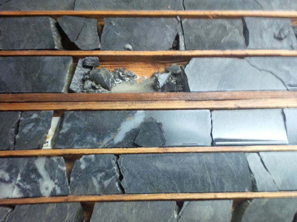
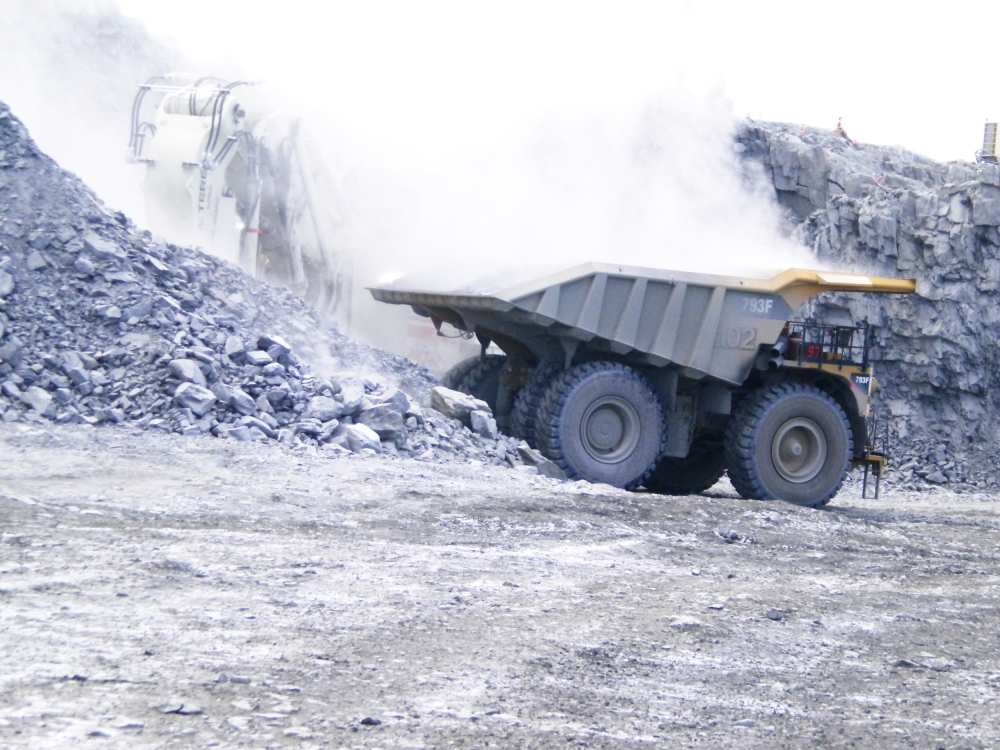
Photo courtesy of DGI Geosciences Inc

Industry:

  • Suppliers/Services

Website:

Click to visit

Sponsored Map

  • Alaska
  • Detour Lake-Matagami
  • Idaho
  • James Bay
  • Kirkland Lake
  • Mexico
  • Nevada
  • Northern Canada
  • Ontario Lithium
  • Red Lake
  • Timmins
  • Val-d’Or
  • Yukon

Stock

About DGI Geoscience

Borehole Data with a Purpose

DGI Geoscience acquires rapid, accurate and cost-effective in-situ structural, geotechnical, geophysical and hydrogeological information. The result provides a continuous and quantitative characterization of the subsurface that is valuable throughout a project lifecycle. Our experienced team designs and implements turn-key data acquisition and interpretation services to meet each project’s specific needs and objectives; whether used for exploration, feasibility or production mining. Our services play a pivotal role in risk assessment for geotechnical, active mining, exploration and hydrogeological investigations.

To learn more about DGI Geoscience, go to https://www.dgigeoscience.com/
Copyright © 2021 DigiGeoData | Powered by ViaMarket


Data compiled from DigiGeoData database.
DigiGeoData has compiled this information using best practices and does not warranty the completeness or accuracy.
All data should be checked and verified before use